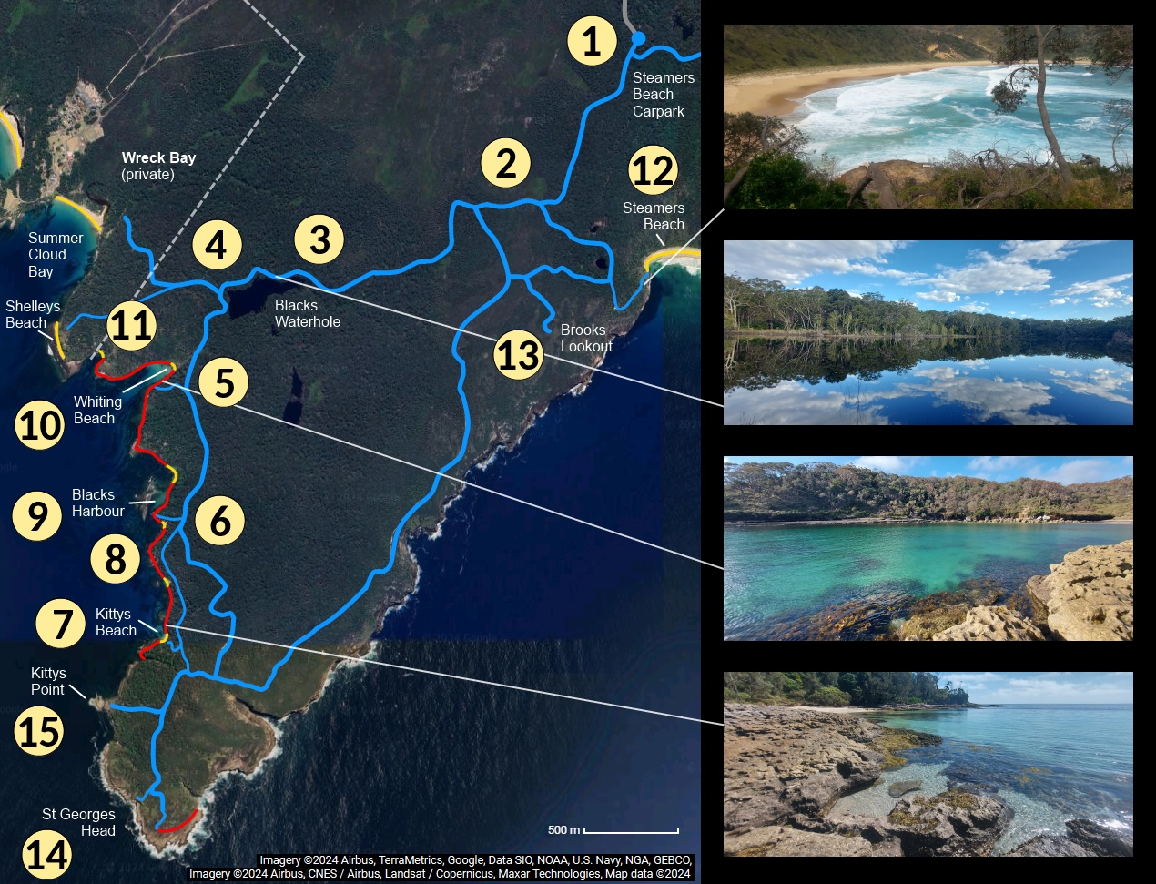
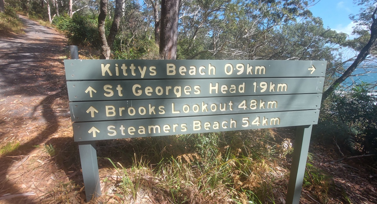
The walk goes along a hilly trail, past a lake ③ and eventually down to Kittys Beach ⑦, then north along the coast to Whiting Beach ⑩ – mostly over easy rock platforms but with some rock hopping sections too. There is an optional side trip to a hidden beach ⑪ and back, then a short trail reconnects to the main track ⑤ for the trip back.
For a longer walk, take the Headland Circuit Trail with potential side trips to Brooks Lookout ⑬, St Georges Head ⑭ and/or Kittys Point ⑮. Steamers Beach ⑫ can be interesting but has steep steps, so it might be a bit much to combine with another walk.
Swimming is not recommended in this area due to rips and sharks, except for locations sheltered from the ocean: Whiting Beach ⑩ (ideal for kids if they can handle the walk), Blacks Harbour ⑨ (if it’s not too weedy), the hidden beach ⑪ and a sort of pool north of Kittys Beach ⑧.
The coastal section requires fairly low tide, otherwise some areas may be impossible to cross (such as Blacks Harbour).
⑦ to ⑩ along the coast: 1.5-2 hours
⑩ to ⑪ (optional): 15 minutes
⑩ to ①: 1-1.5 hours (slower than coming down due to uphill sections)
So it takes 4-5 hours for the whole walk, plus half an hour with the side trip to the hidden beach ⑪ and back. This includes time for rests and photos.
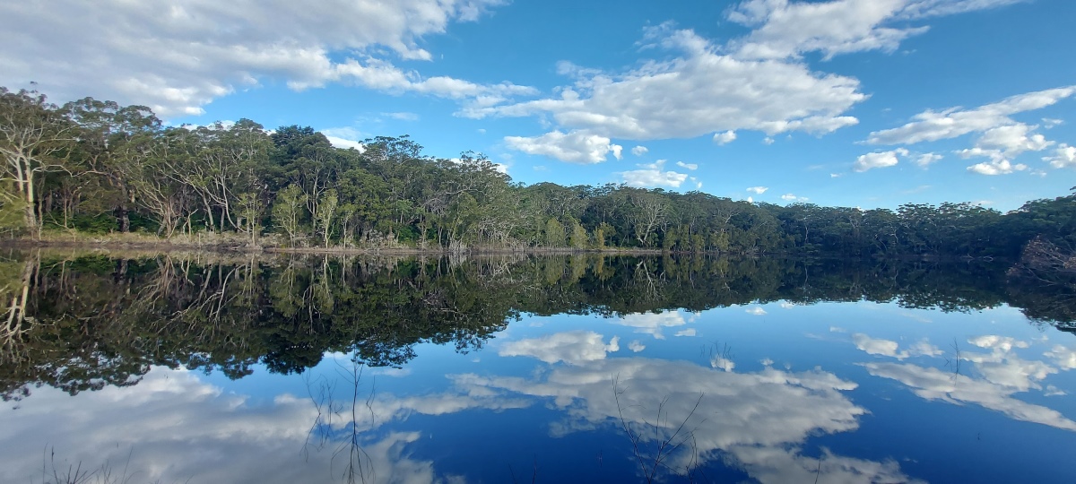
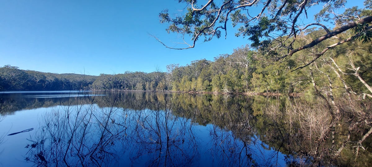
Another good vantage point is at the far end of the lake, just before it goes out of view.
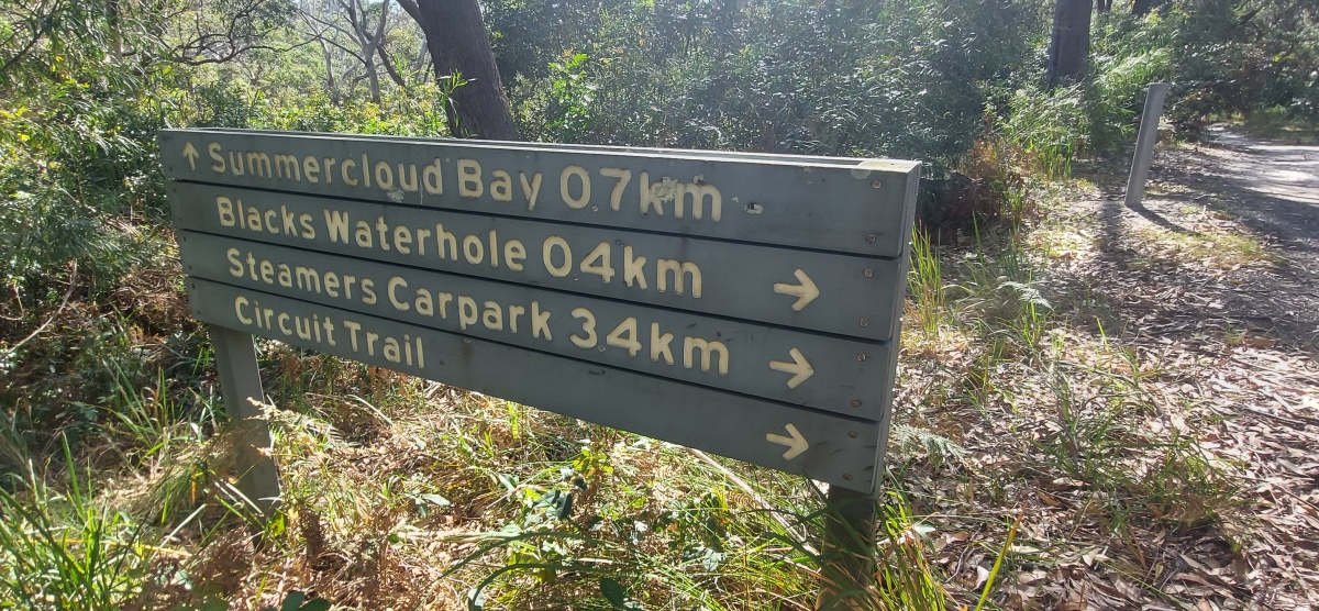
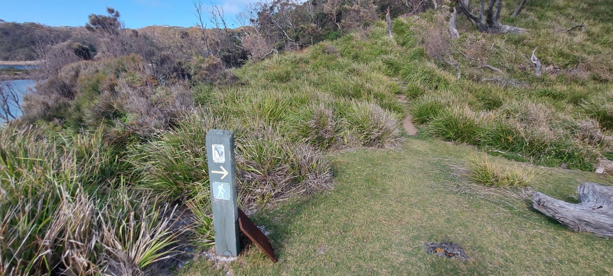
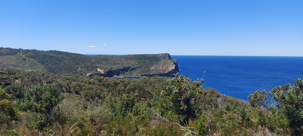
Ignore the track to the right towards Summercloud Bay.
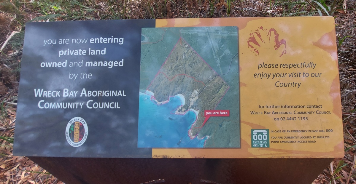
This track leads to the Wreck Bay area, which is private aboriginal land (marked on the map with a dashed white line).
Soon there is a sign saying Whiting Headland, which points to a short, steep trail that goes down to a rock platform near Whiting Beach ⑩. The walk returns via this trail later on.
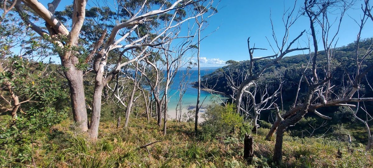
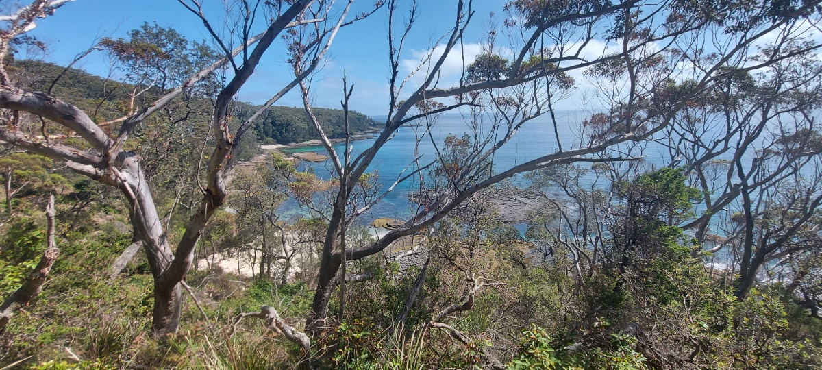
The trail stays up high for a while, with a view of the coastline through the trees. At one point the trail goes straight or right; head right down to the water (there is a sign).
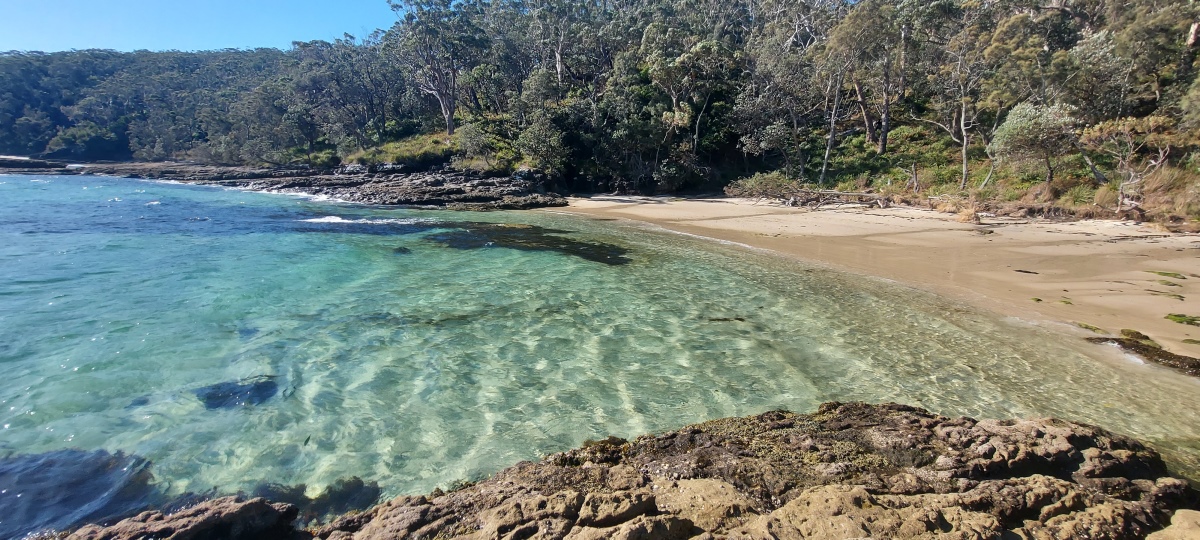
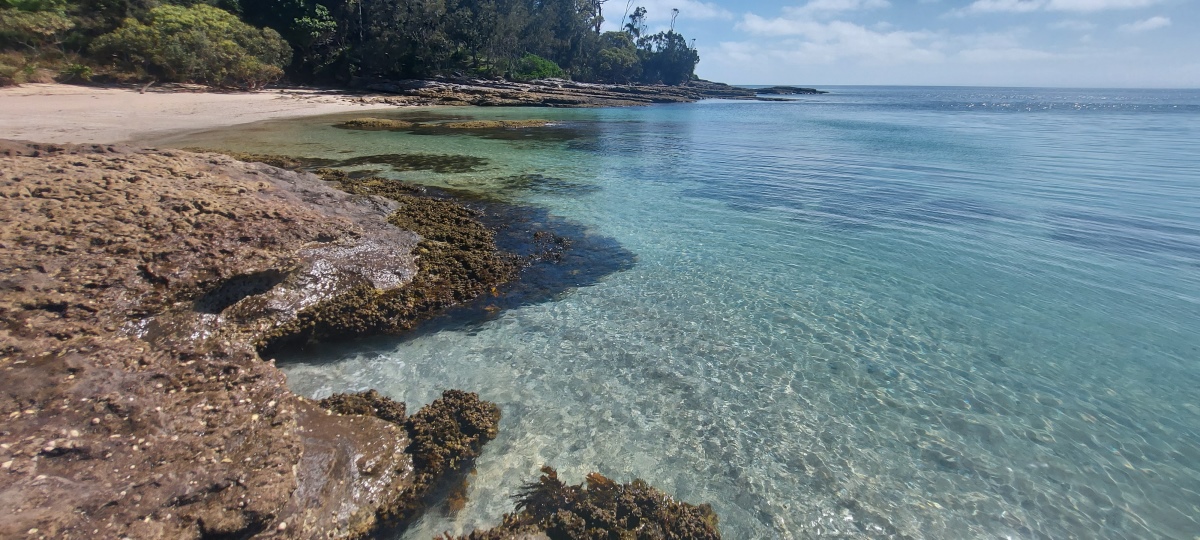
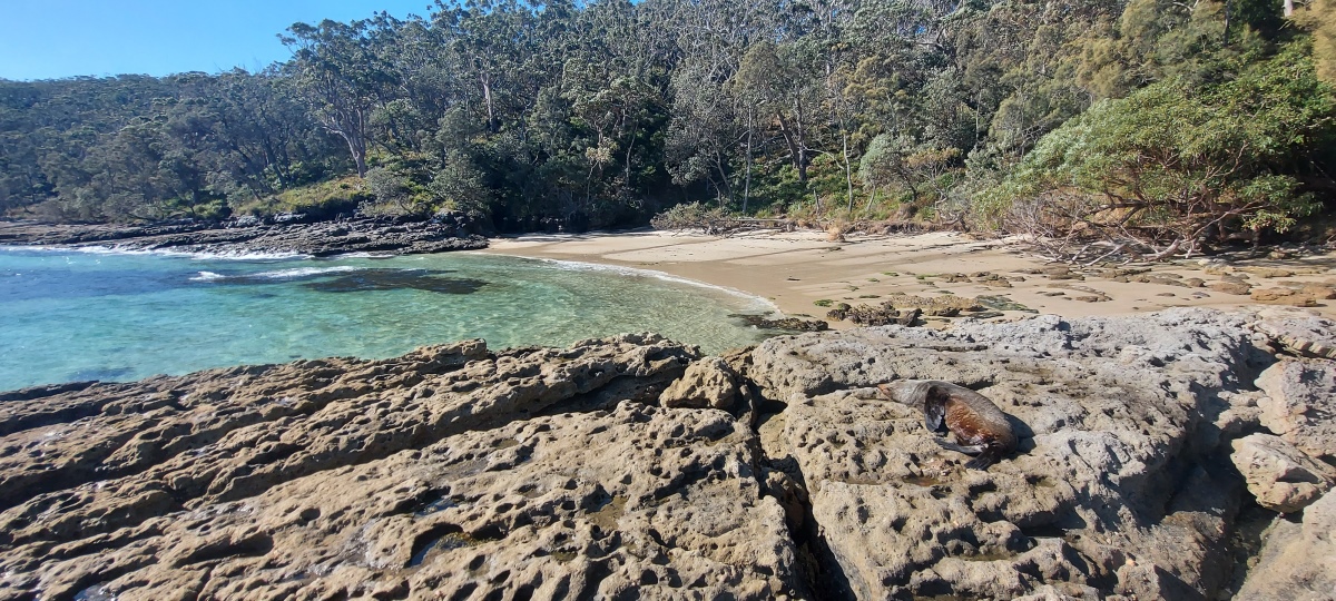
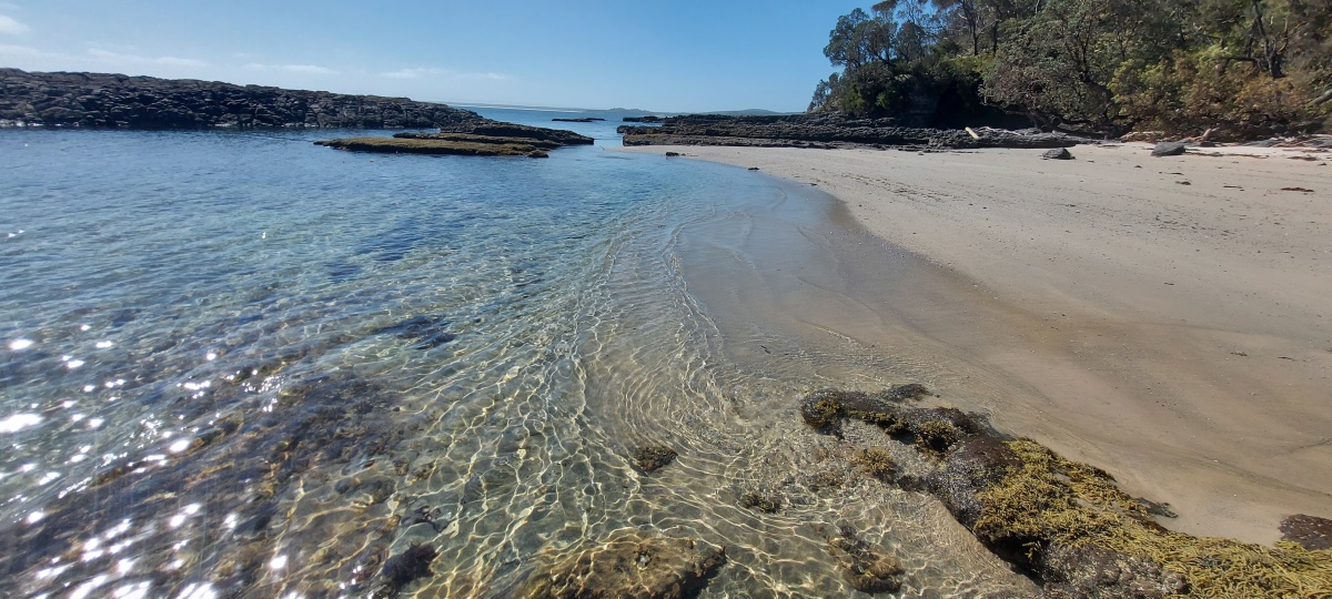
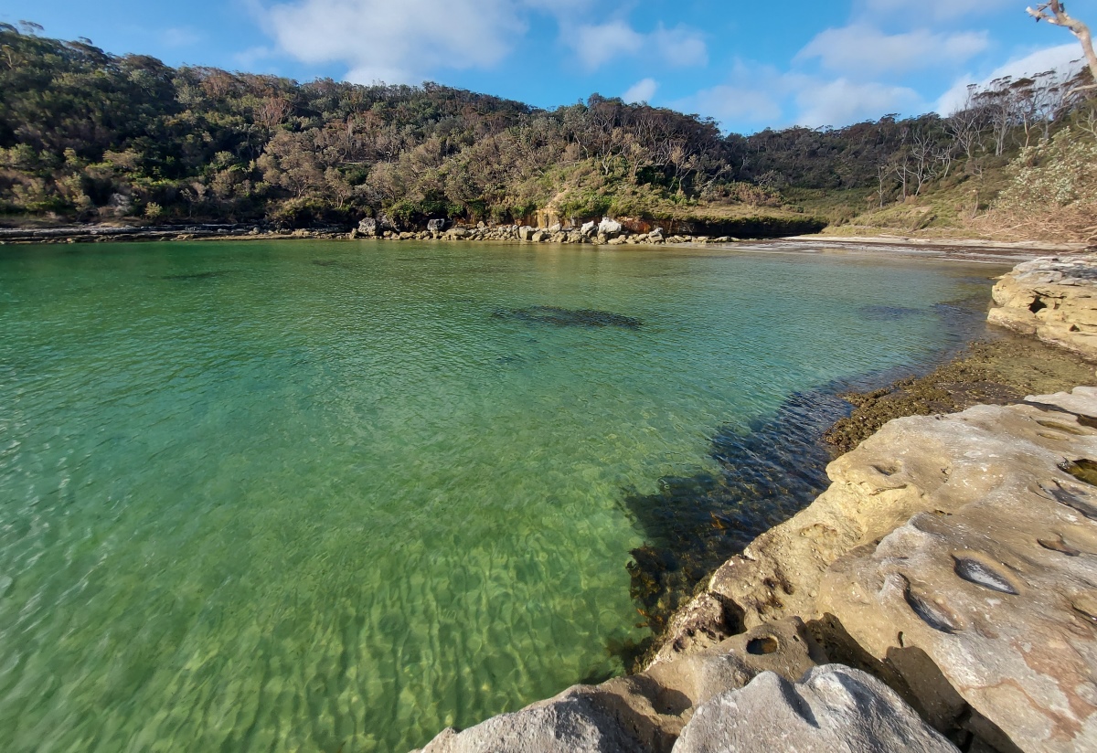
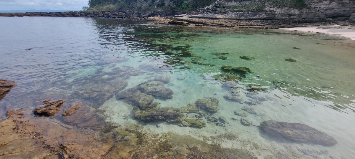
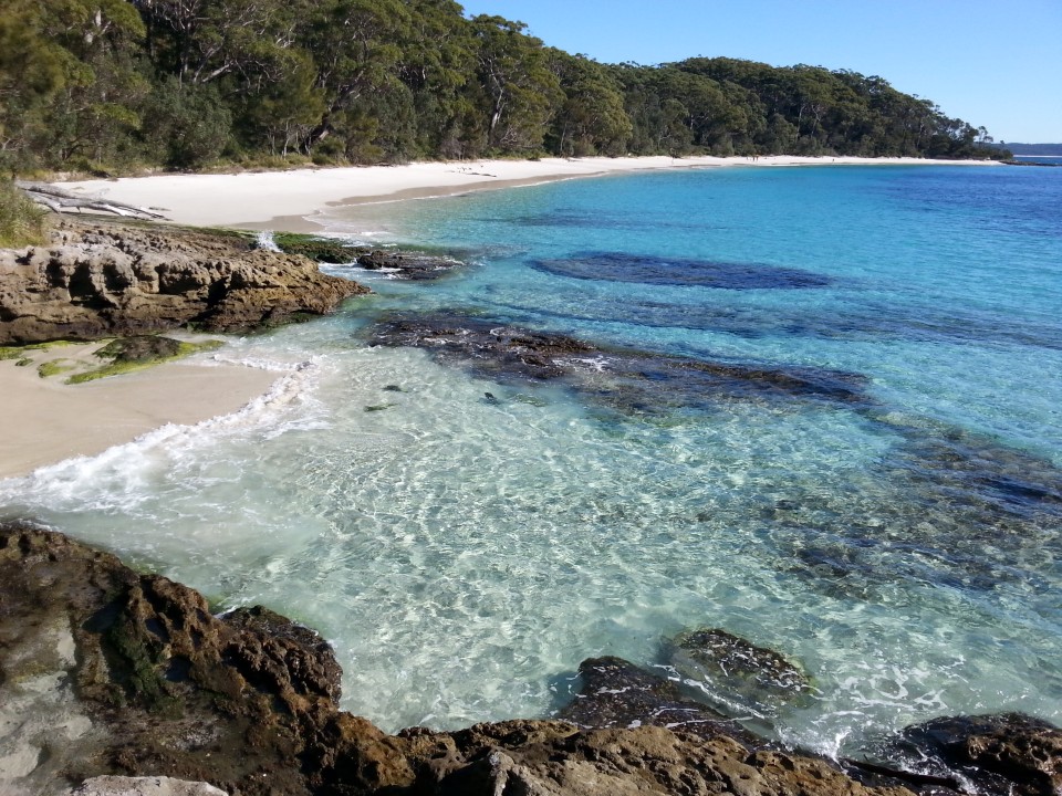
The water can be very clear and colourful at times (see the top photo).
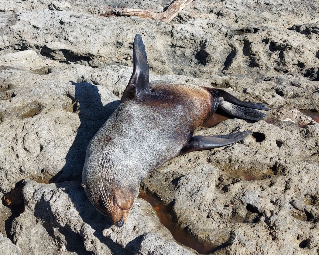
There is a rock platform to the left. One time I found a seal sunbathing here (July 2023, just once out of five visits).
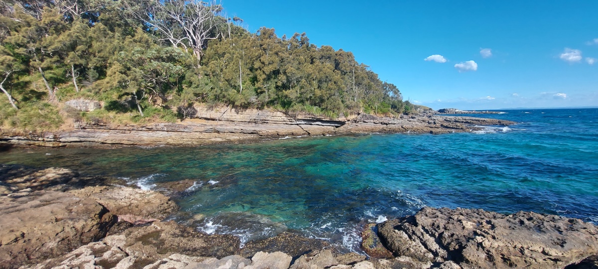
Around the corner there is a small channel. You can see Kittys Point ⑮ in the distance.
It is possible to reach the tiny beach on the left, but the slope on the other side is very difficult to cross and without much to hold onto (and there is no easy way to get across the rocks below), so heading further is not recommended.
This spot could be nice for a quick dip.
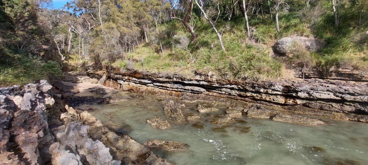
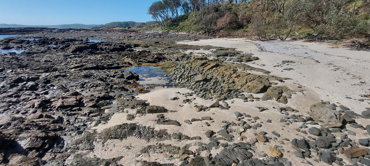
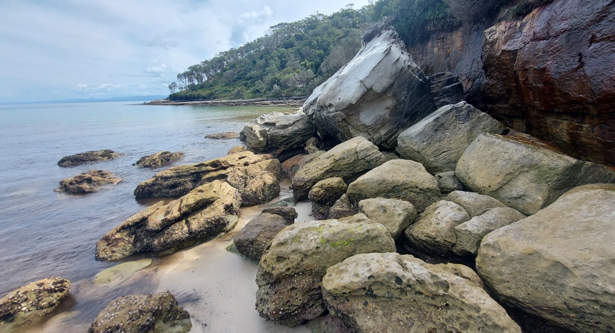
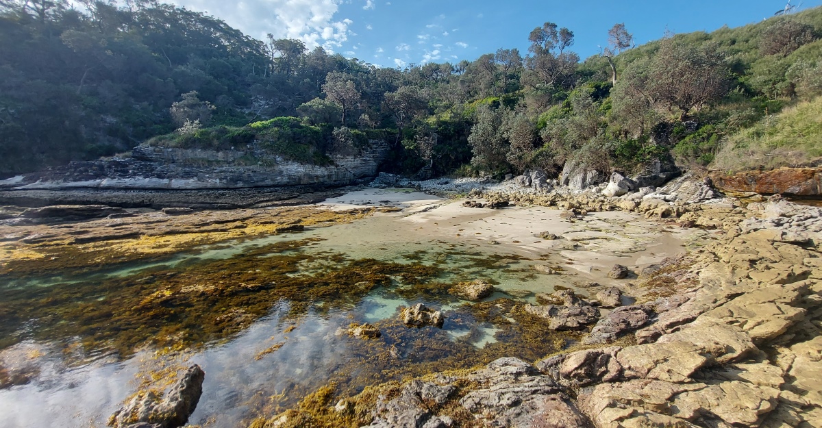
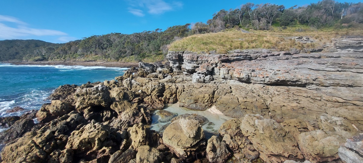
Just before Blacks Harbour is another rocky beach.
On the right there is a grassy area with steps back up to the main track.
Walk over the rocks around the edge of the harbour to get to the far side. They can be slippery sometimes (and may be impassable at high tide).
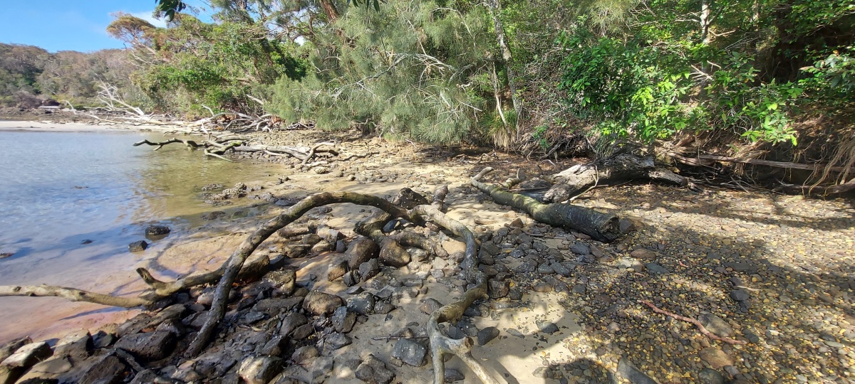
The rocks give way to a sandy / muddy area.
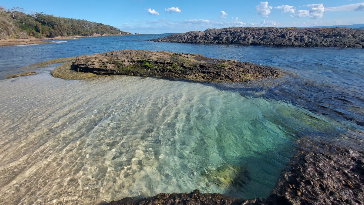
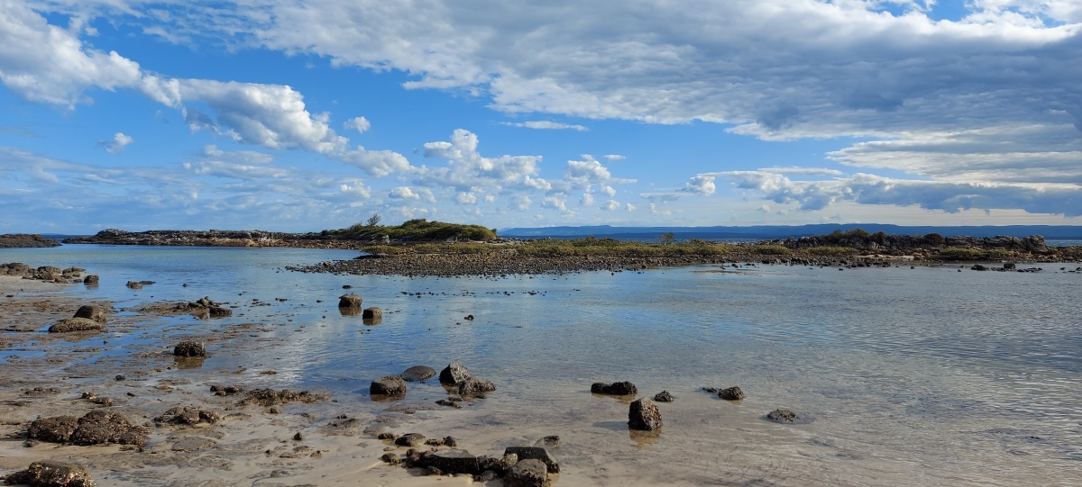
The harbour is protected by a rocky island which is usually inaccessible, but can be reached on foot at very low tide. There isn’t too much to see on the island though.

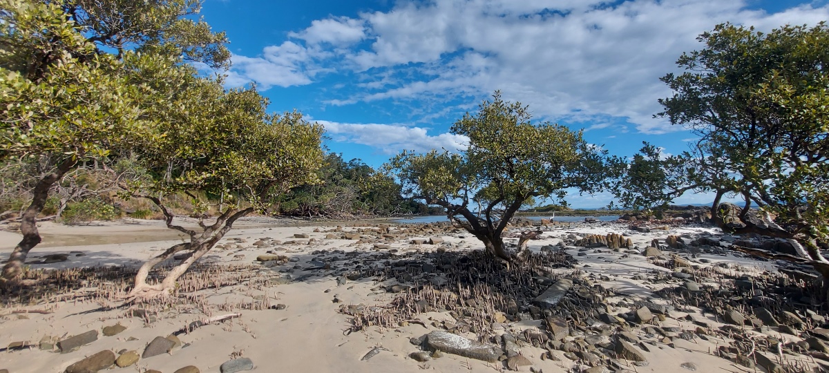
North of the harbour there are some mangrove trees with aerial roots.

The side trail back up to the main track has no sign and can be easy to miss. It starts here near the edge of the rock platform.
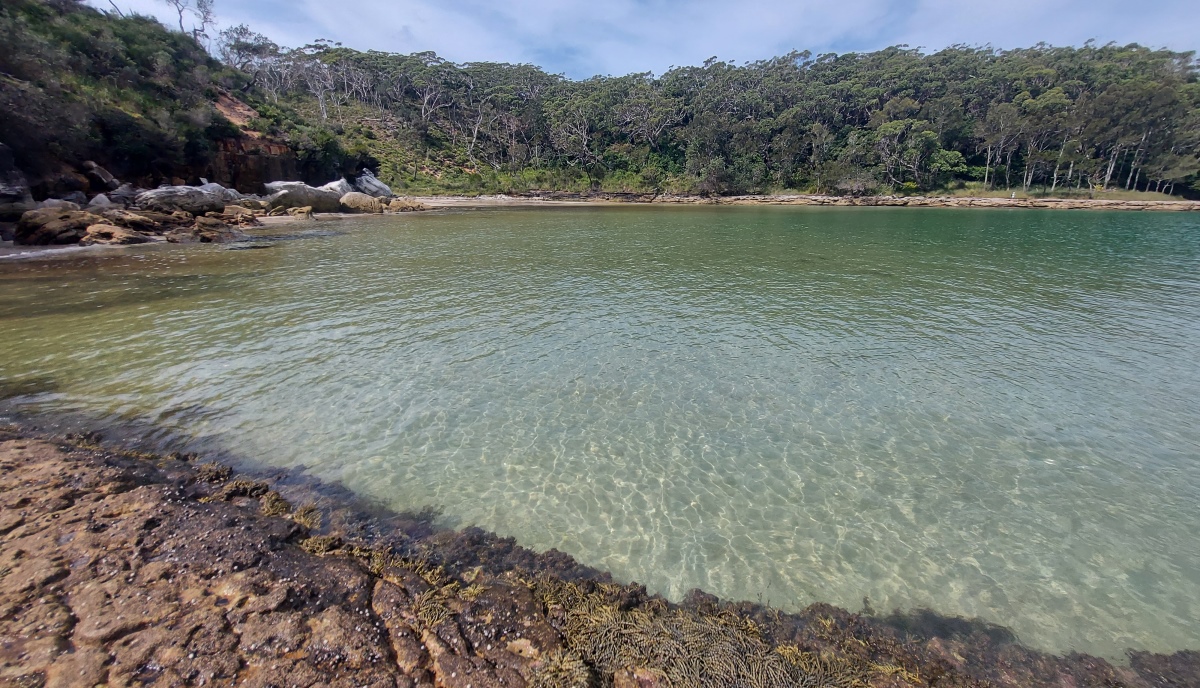
The bay is just a little further. It has a lovely green colour when the lighting is right.
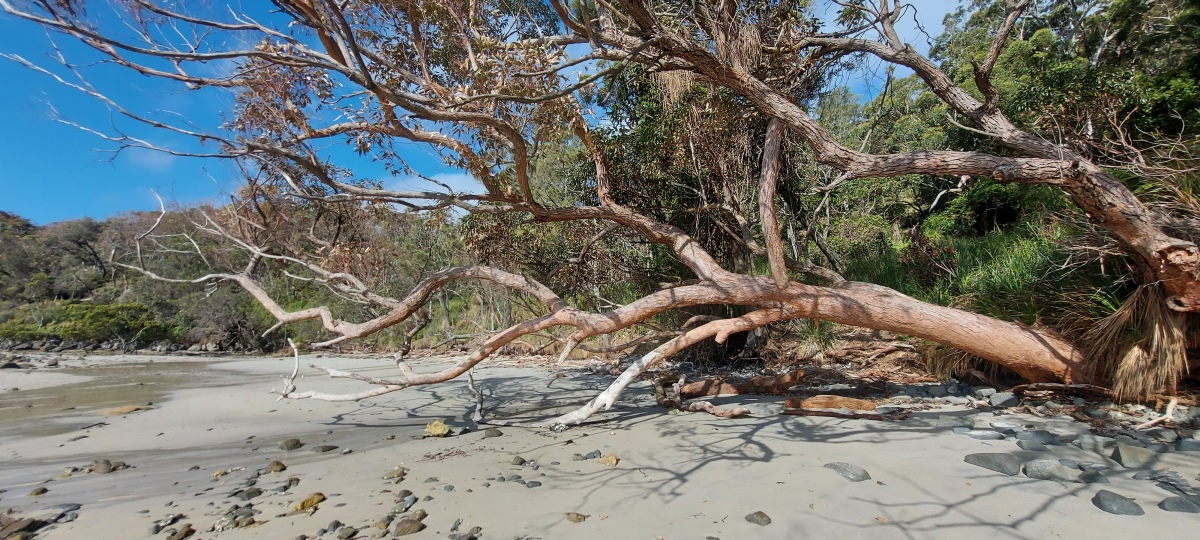
Negotiate past the trees and rocks to get to the beach.

There is sometimes a bit of sea weed around.
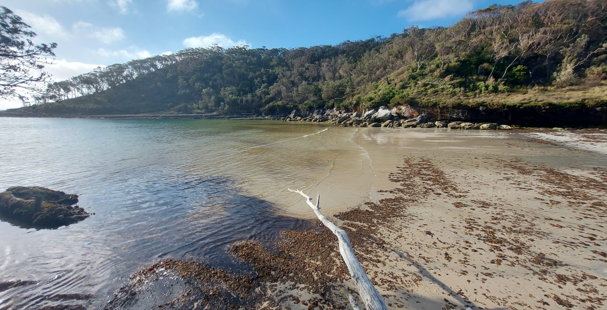
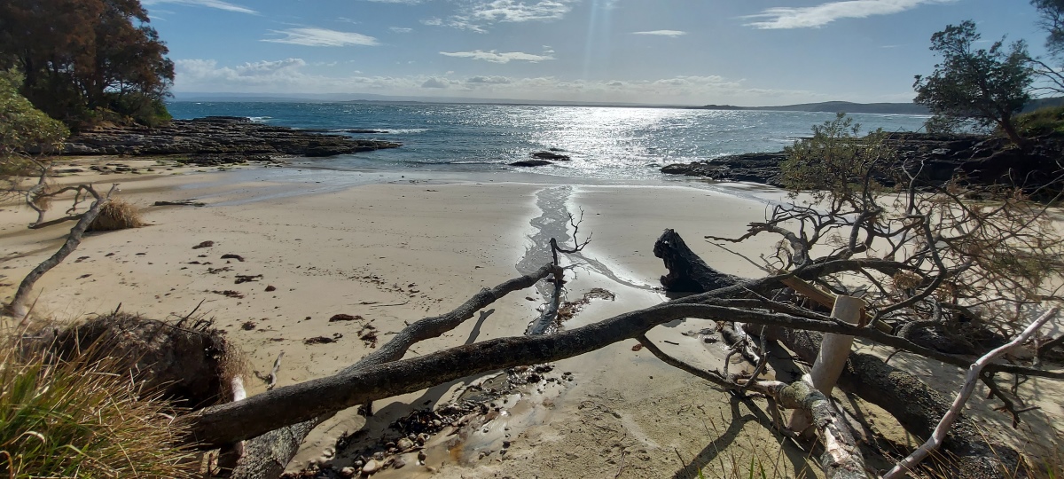
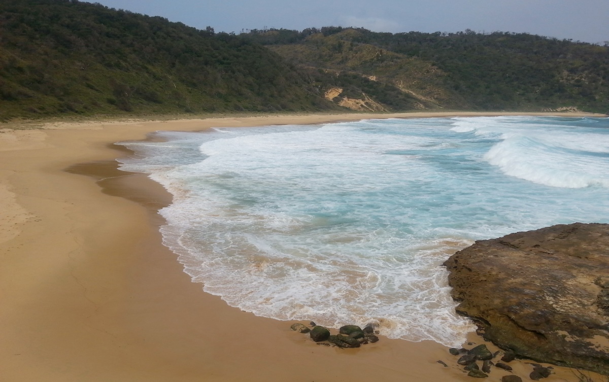
Whiting Beach is quite flat, with low waves.

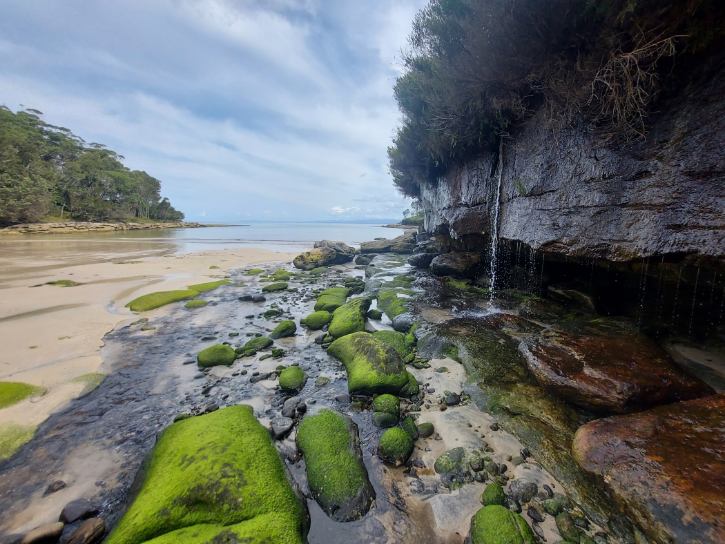
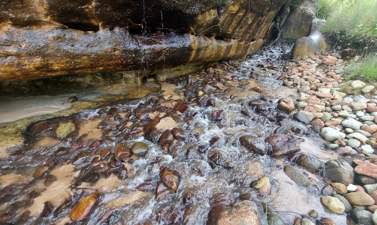
A creek with mossy rocks flows down the far side the beach.
Either continue on to the hidden beach ⑪, or go back to the side trail and up to the main track then head back to the carpark.
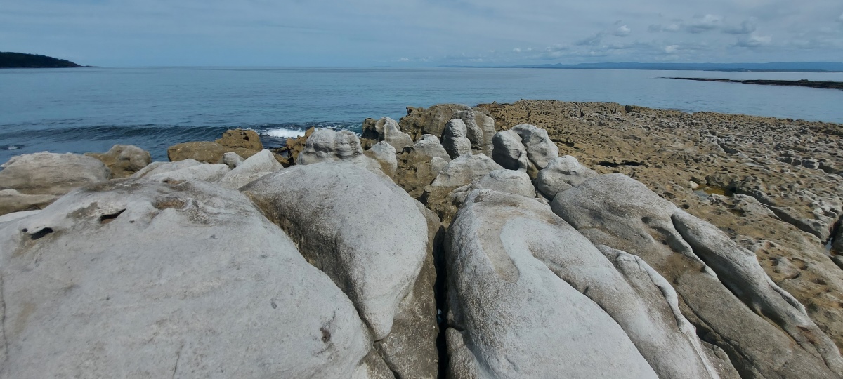
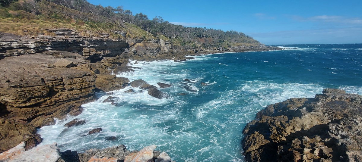
The rockshelf beyond is easy to walk along and has a good view of the bay.
Some rock hopping is involved as you continue around the coast.
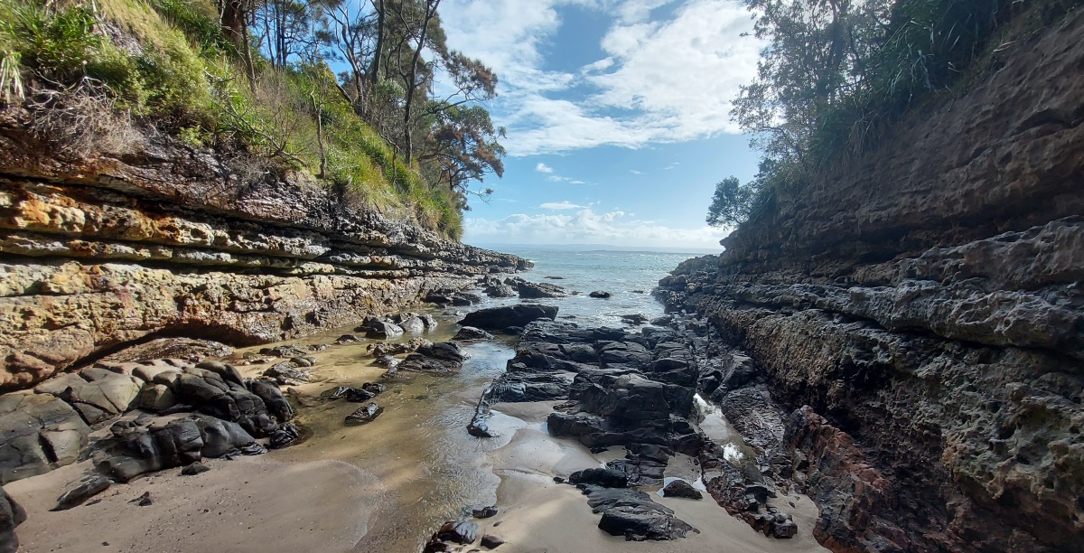
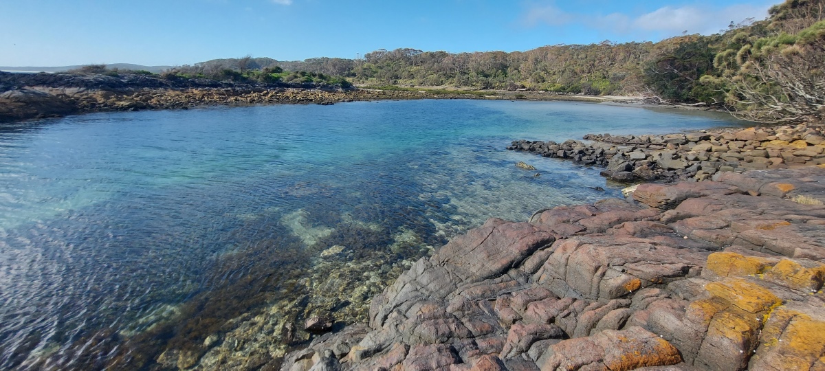
Around the corner is a small sheltered beach.
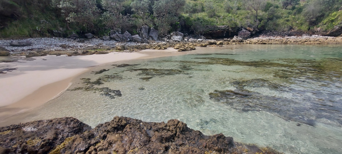
The water is usually nice and clear, but it can get weedy sometimes.
The beach is just outside the boundary of Wreck Bay, so going any further along the coast crosses into private aboriginal land. Return to Whiting Beach the same way you came.

This headland has a cliff that is possible to climb down, then up onto a rocky point (which is a bit challenging to do).
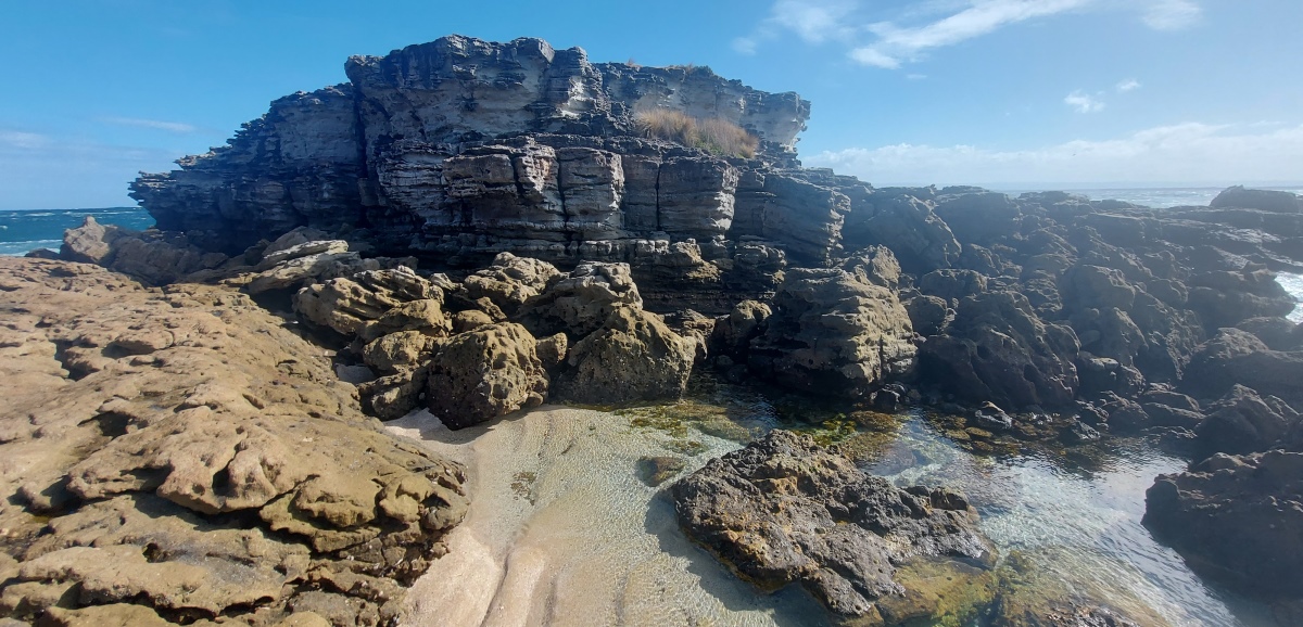
View from the top of the rock. It can get quite windy in this exposed area.
On the way to Kittys Point and St Georges Head there is a sign that mentions “Corangamite”. This refers to the shipwreck of the S. S. Corangamite in December 1886. According to this website, the wreck is located 15m underwater here, so it is not visible from the land.
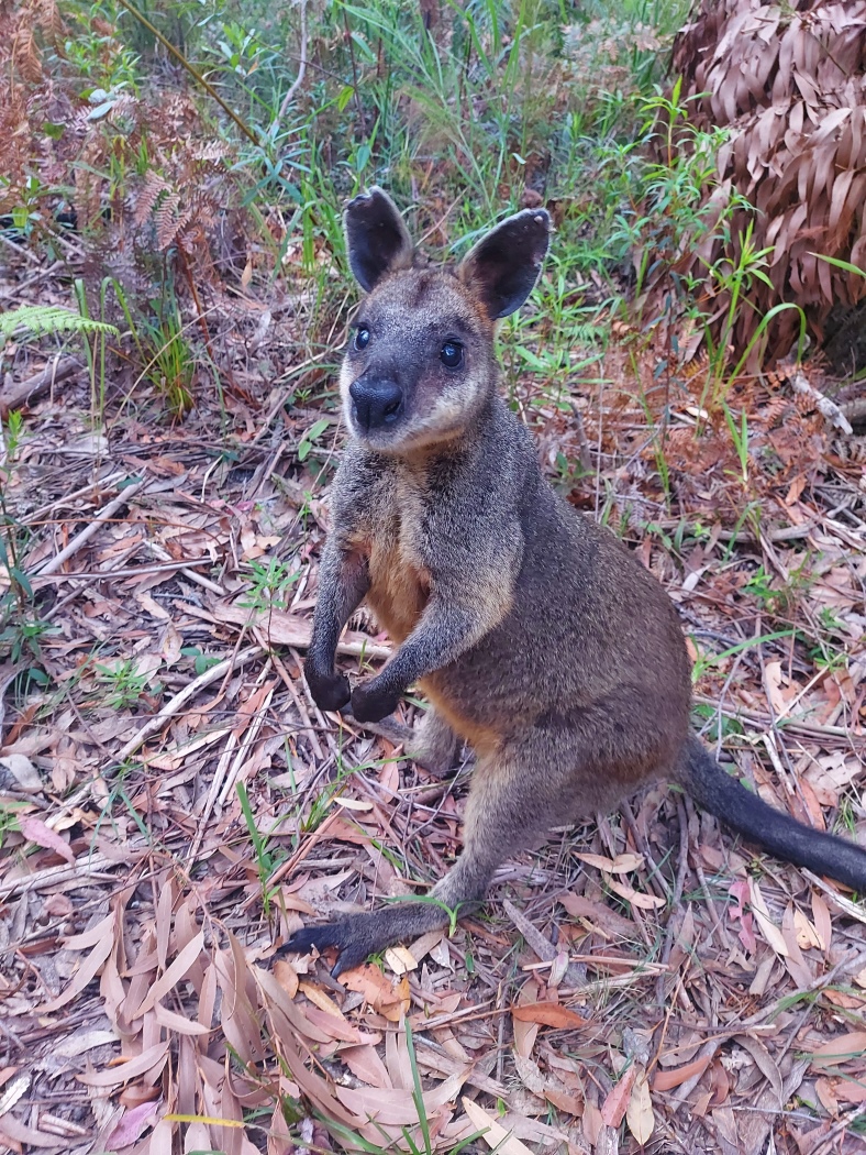
Swamp wallaby. They are usually very shy, but this one stayed by the track.
A seal near Kittys Beach (video). It was very relaxed!
Murrays Beach is easy to access but fairly remote, so there aren’t as many crowds as some places.
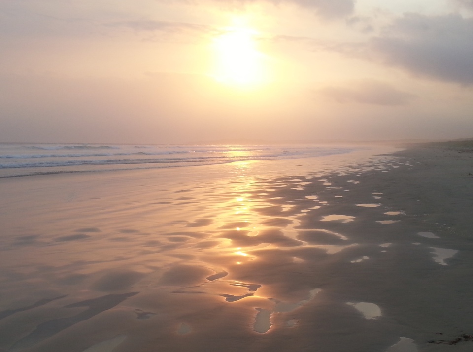
Bherwerre Beach is good for sunsets. The direct track from Cave Beach Camping Ground has been given “restricted access,” but there is another track a few hundred metres up the road from the parking area.
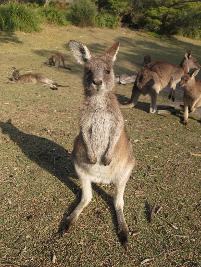
There are almost always friendly kangaroos at Cave Beach Camping Ground.
Send questions or comments to:
davidfisher@australiaonline.net.au